
Declustered statistics
Why it is important to take spatial coordinates of samples into account when computing statistics?
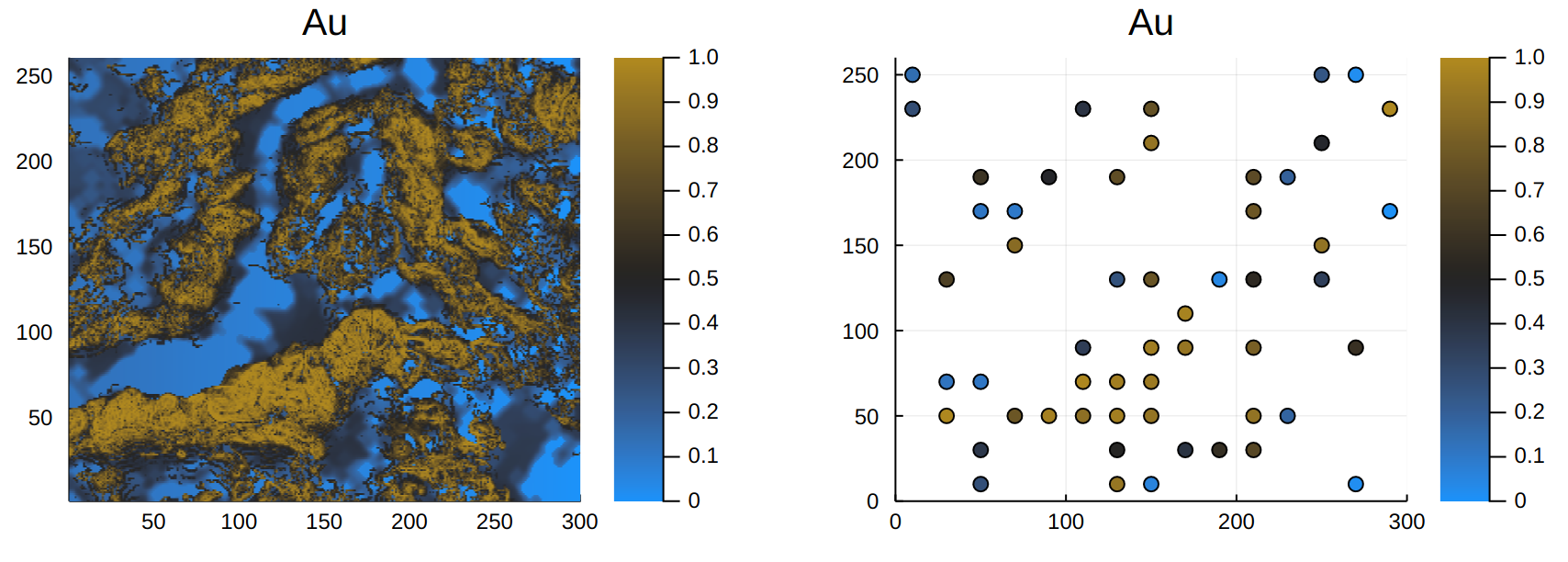
In this tutorial, I illustrate how not taking coordinates of samples into account can lead to overestimation of resources, and how GeoStats.jl overcomes this very common issue:
Leave a Comment